Administrators: admin - Site/Tech Issues/ Member Issues/ VIP Issues Mac - Site/Tech Issues WuTeVa - Member Issues
Moderators: BigBrother - Forum, Posting or Comment Problem vrxitachi - Forum, Posting or Comment Problem Don_k - Forum, Posting or Comment Problem DropsOfJupiter - Forum, Posting or Comment Problem
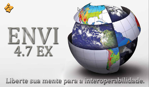
To date, ENVI software package is one of the most successful and affordable software for visualization and data processing, which includes a set of tools for the complete cycle of data-processing and orthorectification of spatial referencing images to obtain the necessary information and its integration with GIS data. Year: 2010 Version: 4.7 SP1 Developer: ITT Visual Information Solutions Platform: Windows x32/x64 Language: English only Tabletka: Present
Features: * The distinctive feature of ENVI software system is an open architecture and the availability of the programming language IDL (Interactive Data Language), with which you can significantly extend the functionality of programs for specialized tasks: automate the existing algorithms, as well as create their own data processing algorithms, and perform batch processing . * The benefits ENVI also includes an intuitive graphical interface that allows novice users to quickly learn all the necessary data processing algorithms. Logic pull-down menus make it easier to find a function that is needed in the process of analysis or data processing. It is possible to streamline, restructure, or rename Russify ENVI menu items or add new features. * ENVI is recognized worldwide as a leader in the analysis of multispectral and hyperspectral images: contains the spectral library and constantly updated algorithms and tools for spectral analysis. * ENVI supports a wide range of raster and vector formats such as ESRI SHP, MapInfo TAB, MapInfo MID / MIF, and many others may create and edit bitmap and vector layers, viewing and editing attribute tables.
ENVI Software complex meets all the basic requirements necessary for image processing: * Visualization and processing of remote sensing data; * Processing and deep spectral analysis of multispectral and hyperspectral imaging; * Spatial reference images; * Orthorectification; * Creation of DEM-based stereo; * Three-dimensional visualization; * Topographic analysis; * Data management and analysis of radar and lidar survey; * Interactive interpretation and classification; * Analysis of vegetation using vegetation indices (NDVI); * Geometric and radiometric correction; * Interactive spectral and spatial image enhancement; * Calibration and atmospheric correction; * Support for raster and vector formats; * Provide support to remote sensing data from satellites WorldView-1, QuickBird, Ikonos, Cartosat, ALOS, EROS, Orbview, SPOT, IRS, TERRA (ASTER), Landsat, etc.
Additional Information: * In version 4.7 implemented the integration of products ENVI and ArcGIS.
ENVI 4.7 SP1 (2010) [img]http://t1.gstatic.com/images?q=tbn:Ww3Nwr6UT09mFM[/img] ENVI 4.7 SP1 (2010) | 576 MB To date, ENVI software package is one of the most
ENVI 4.7 SP1 (2010) ENVI 4.7 SP1 (2010) | 576 MB To date, ENVI software package is one of the most successful and affordable software for visualization and data
Information Would you like to leave your comment? Please Login to your account to leave comments. Don't have an account? You can create a free account now.


 Lisa A extra H+B+T for Genesis 8 f
 TX Lujan Premium Pack for G9 G8 G8.1
 dForce Satin Pyjamas Set for Genesis 9
 Moreegan extra H+B+T package for Genesis 8 f
 Leia 9 for Genesis 9
") Mideva for Genesis 8 Female (Update Ver)
Mideva for Genesis 8 Female (Update Ver)
 Lucie W extra H+B+T for Genesis 8 f
 Sliva Bundle Package For Genesis 8 F
 Bosah extra H+B+T package for Genesis 8 f
 RHK extra H+B+T package for Genesis 8 female
")